
Following this morning’s boisterous batch of showers, we ended up with a fairly nice afternoon. Temperatures struggled through the midday but still ended up reaching near 60 in most spots. Skies remain quite clear heading through the evening, although we’ll have clouds to deal with for much of the weekend.
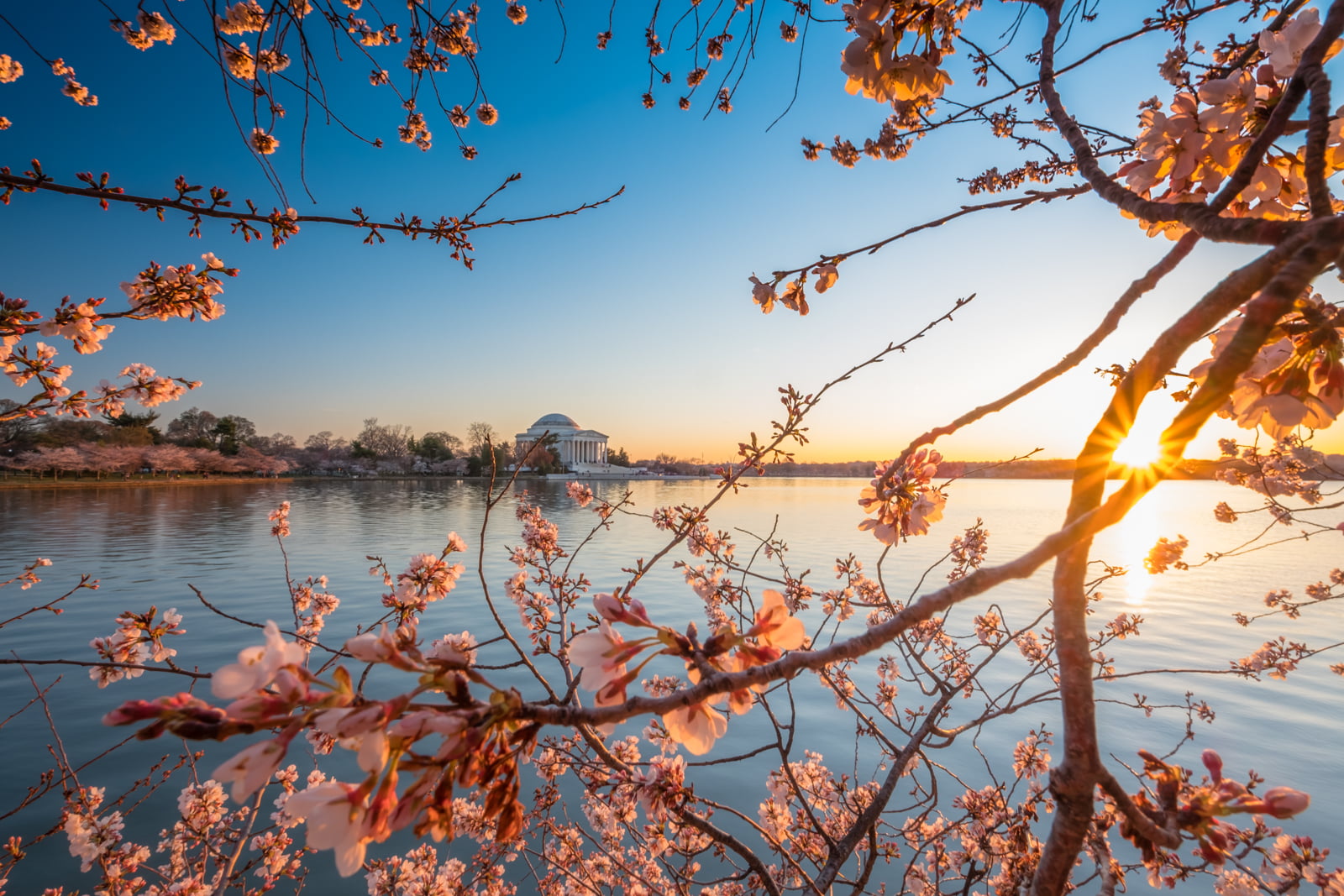
[Hello spring! We declare winter over in Washington.]
Through tonight: We should continue to see partly clear skies into the evening, but clouds probably will increase with time. The additional cloud cover, plus warmer air streaming in on southerly winds, means lows aren’t that chilly. I think upper 40s to mid-50s should do it for the area.
View the current weather conditions at The Washington Post.
Tomorrow (Saturday): This is looking like a cloud-filled but still quite warm day. Winds from the south and southwest around 5 to 10 mph keep on pumping in warmer air, so even without sun, we should have no trouble topping 70 in most spots. In fact, we could head into the mid-70s in many locations. A range of about 72 to 77 seems likely.
Sunday: Coming off lows in the near-50 to mid-50s range, a trickier forecast presents itself to finish the weekend. A “backdoor” cold front will be in the region, and it’s always a bit uncertain where they set up from range. If it moves through, it’s a somewhat cool and damp-feeling day. If not, we’re quite warm once again. At this stage, assuming we’ll end up in the cooler air is probably the safer bet. Of course, cool is still a little warmer than normal for many. Around the city, about 60 seems good for now. That could be mid-50s north and mid-60s south. A few late-day showers are possible as well.
See Camden Walker’s forecast through the weekend. And if you haven’t already, join us on Facebook and follow us on Twitter and Instagram. For related traffic news, check out Dr. Gridlock.
Pollen update: Tree pollen is MODERATE. Grass pollen and mold spores are low.
Want our 5 a.m. forecast delivered to your email inbox? Subscribe here.
[“Source-washingtonpost”]
